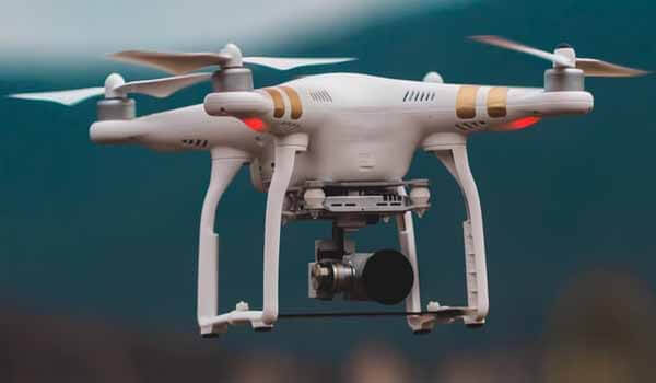
- In Madhya Pradesh, the Government led by Kamal Nath (age 73 years) has decided to use drones for mapping villages.
- Till-Now, Land survey work is being done either manually or with the help of satellite images.
- Under the drone technology, Around 55,000 villages of the state have been selected for mapping. Now, the map of the area will be made on a scale of 1:500, for a better resolution.
- The state revenue department has entered into an agreement in this regard with the Survey of India.
source: newsonair
Published On : 08 Feb 2020
Current Affair
